


Our Story
Every great endeavor has a transformative beginning. Our story is one of unwavering passion, perseverance, and innovation. From competition prototypes to a full-fledged product, our journey is continuous, driven by commitment to mountain safety and scientific excellence.
The Genesis
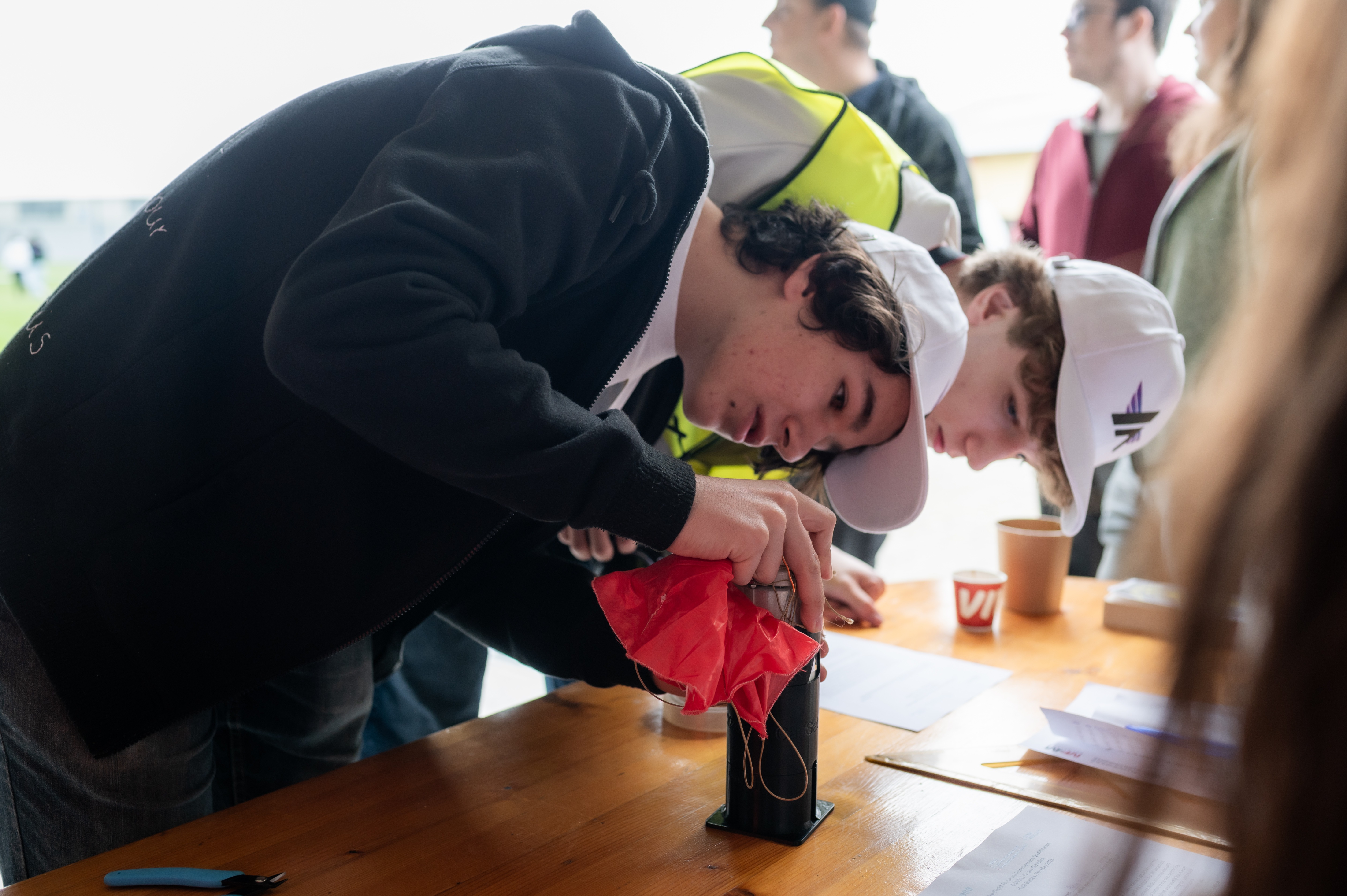
ESA CanSat Competition
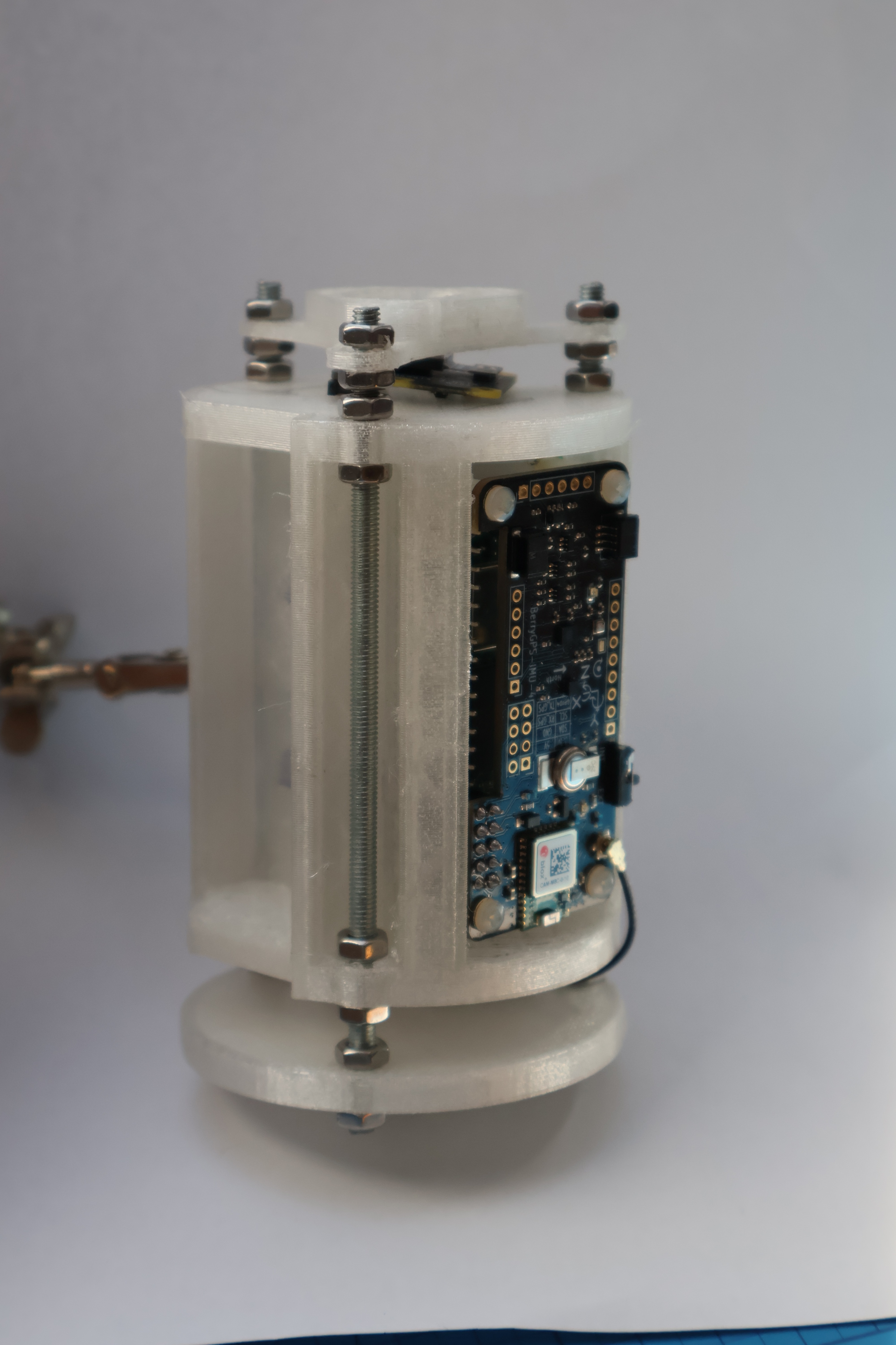
Our journey ignited with the demanding ESA CanSat Competition. Here, our team built and tested the first prototype for 3D model reconstruction, proving the viability of our aerial imaging technology and laying the foundation for everything that followed.
Accelerating Our Vision
Spaceport Accelerator
Joining the prestigious Slovak Space Office Spaceport accelerator marked a pivotal turning point. This program helped transform Aerostacks from a passionate student project into a viable, market-ready product, providing mentorship and strategic guidance.
Validated Success
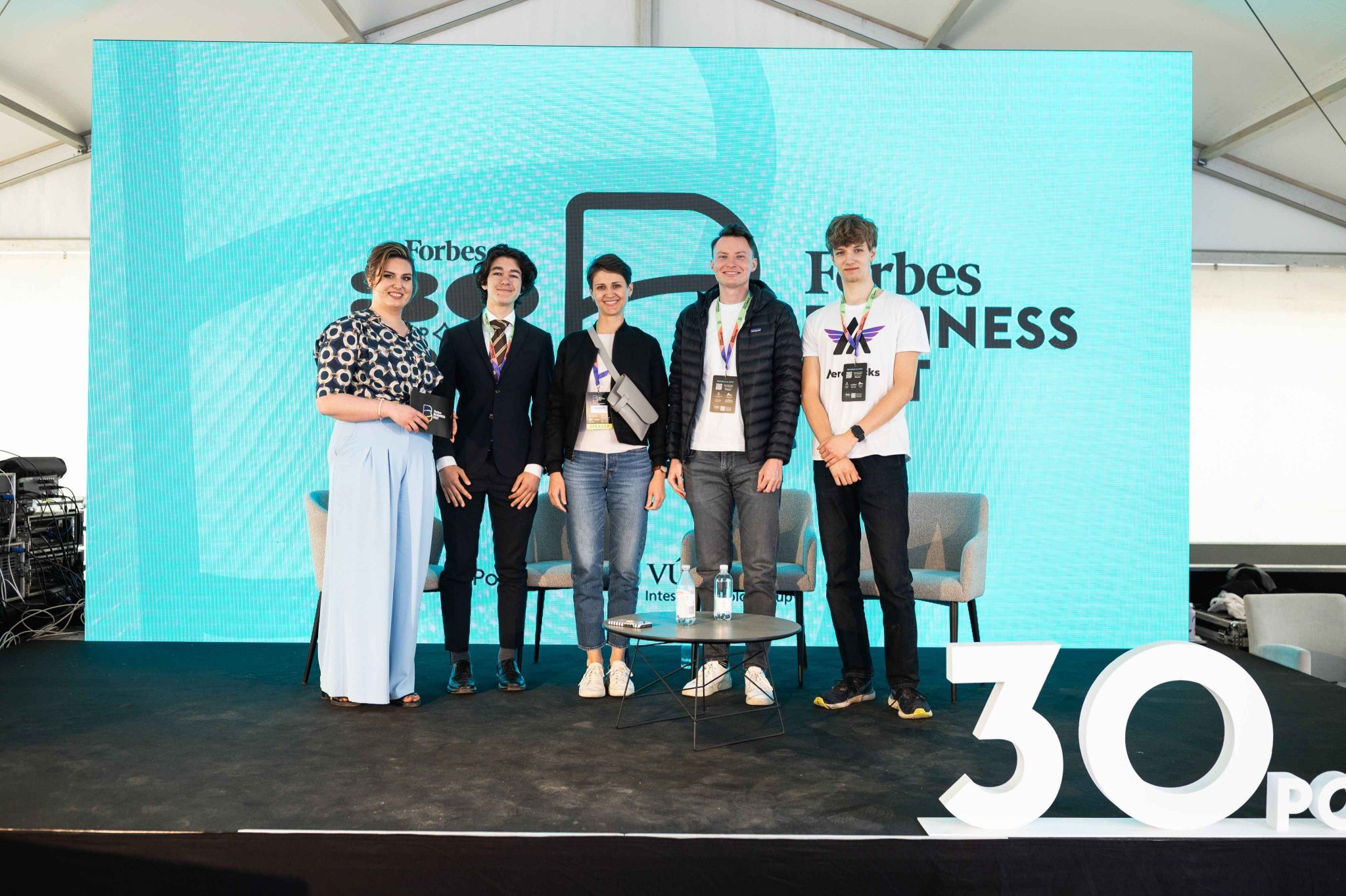
Business Forbes Fest Slovakia 2025
At the highly competitive Business Forbes Fest Slovakia 2025, Aerostacks won the car pitch, triumphing as the best startup from nearly twenty ventures. This victory validated our concept and forged invaluable connections with VC and angel investors.